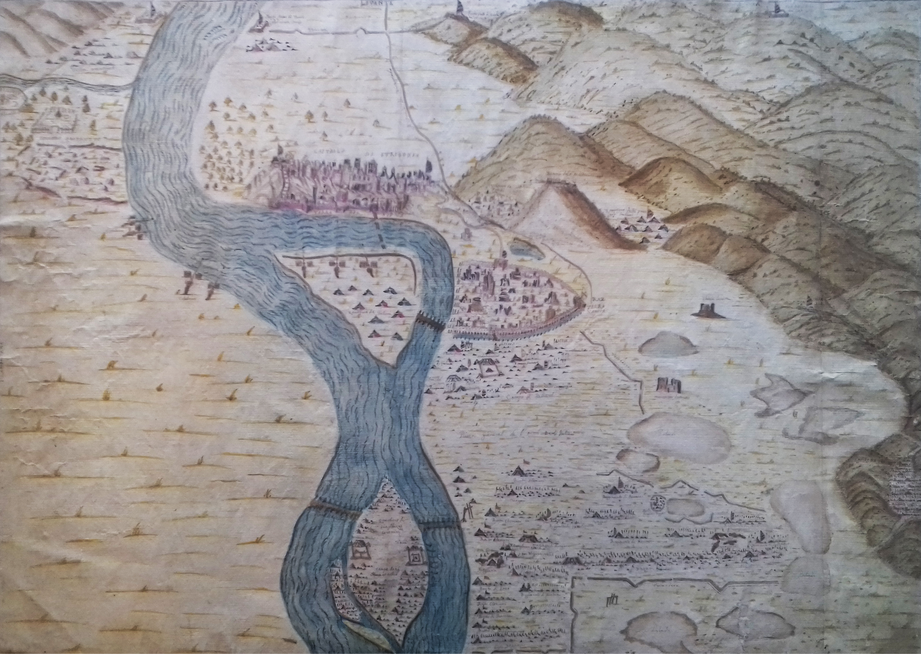
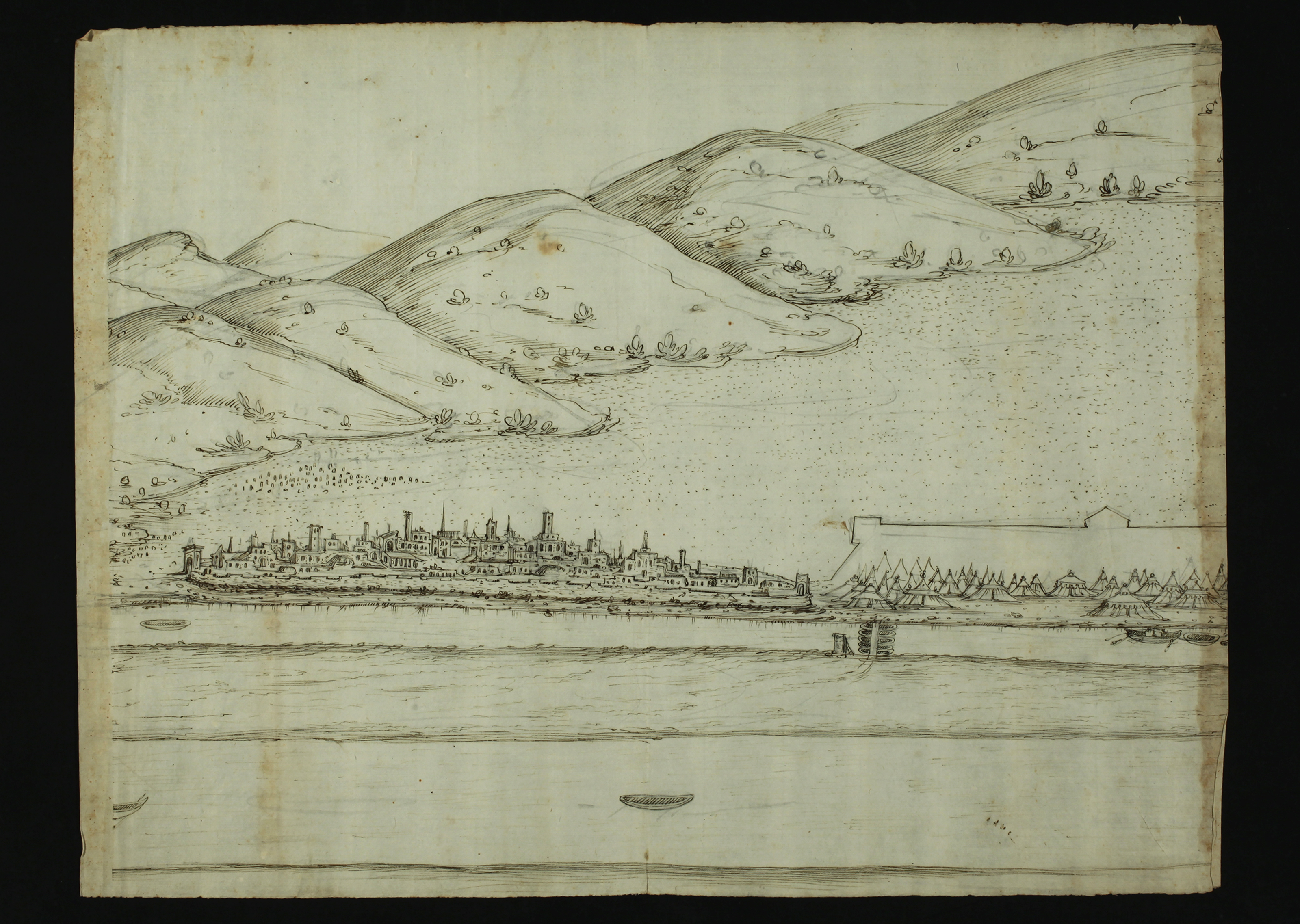
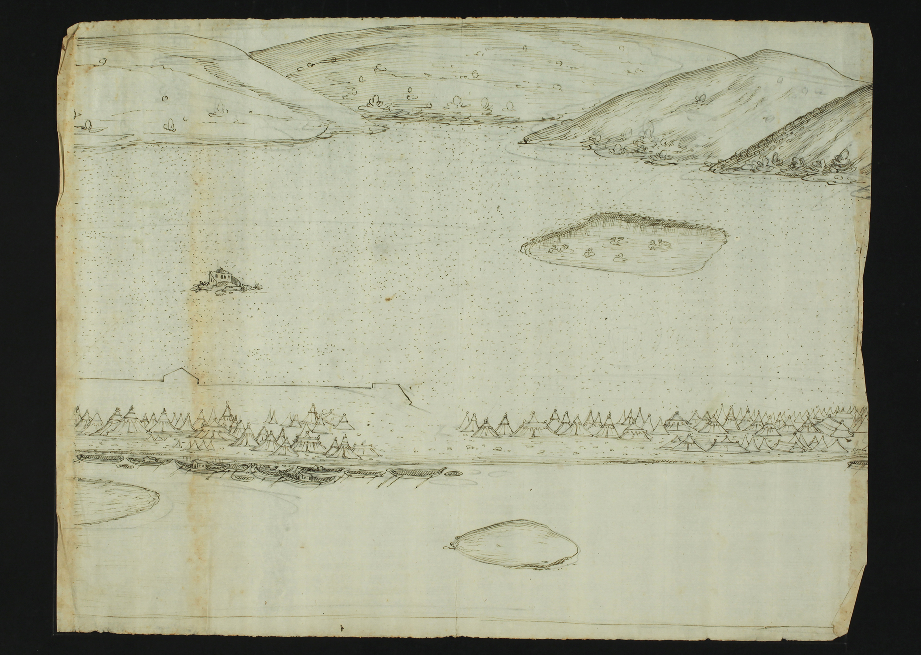
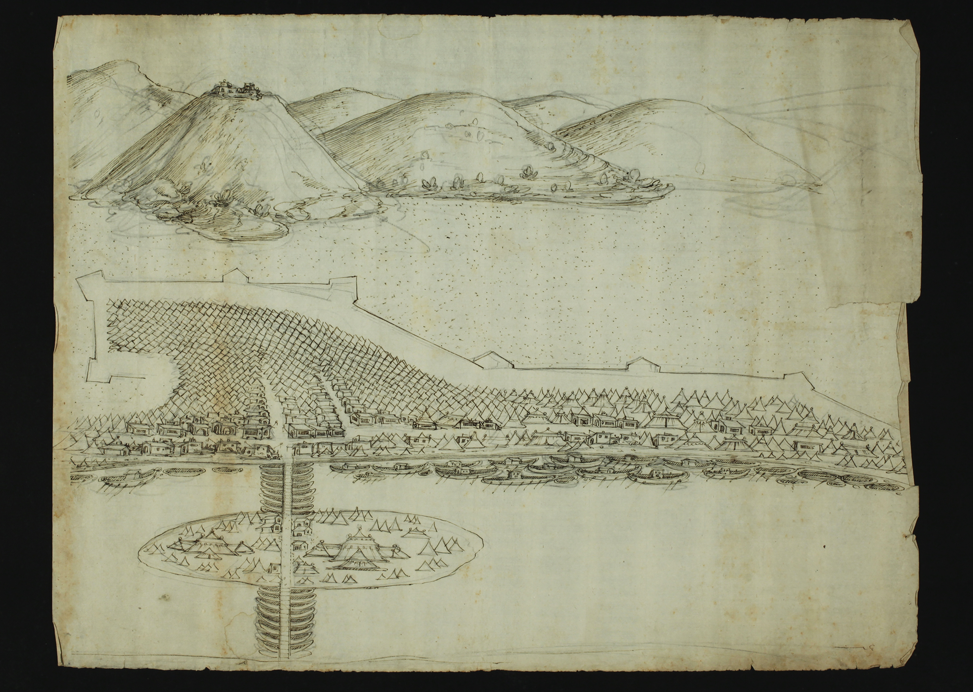
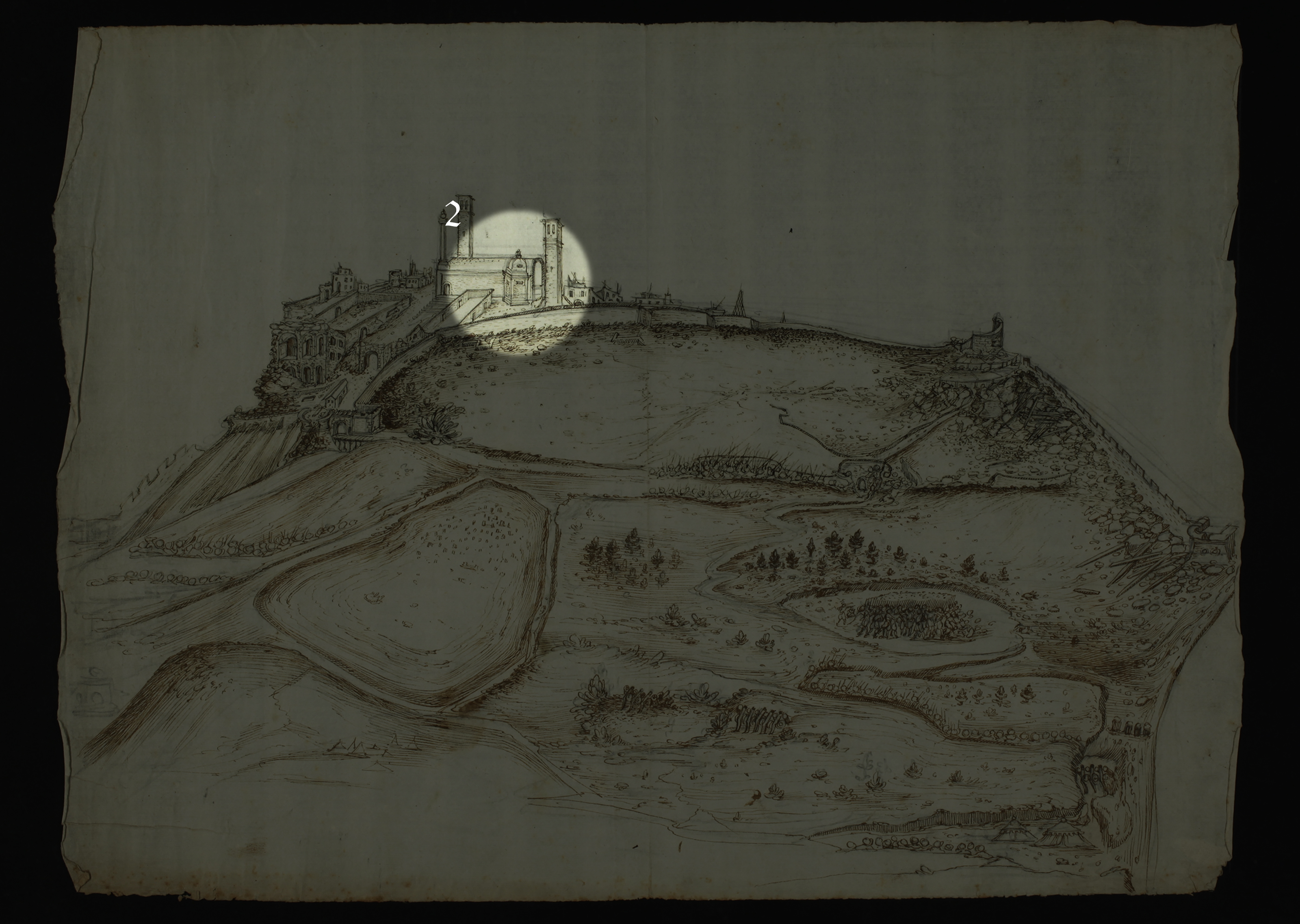
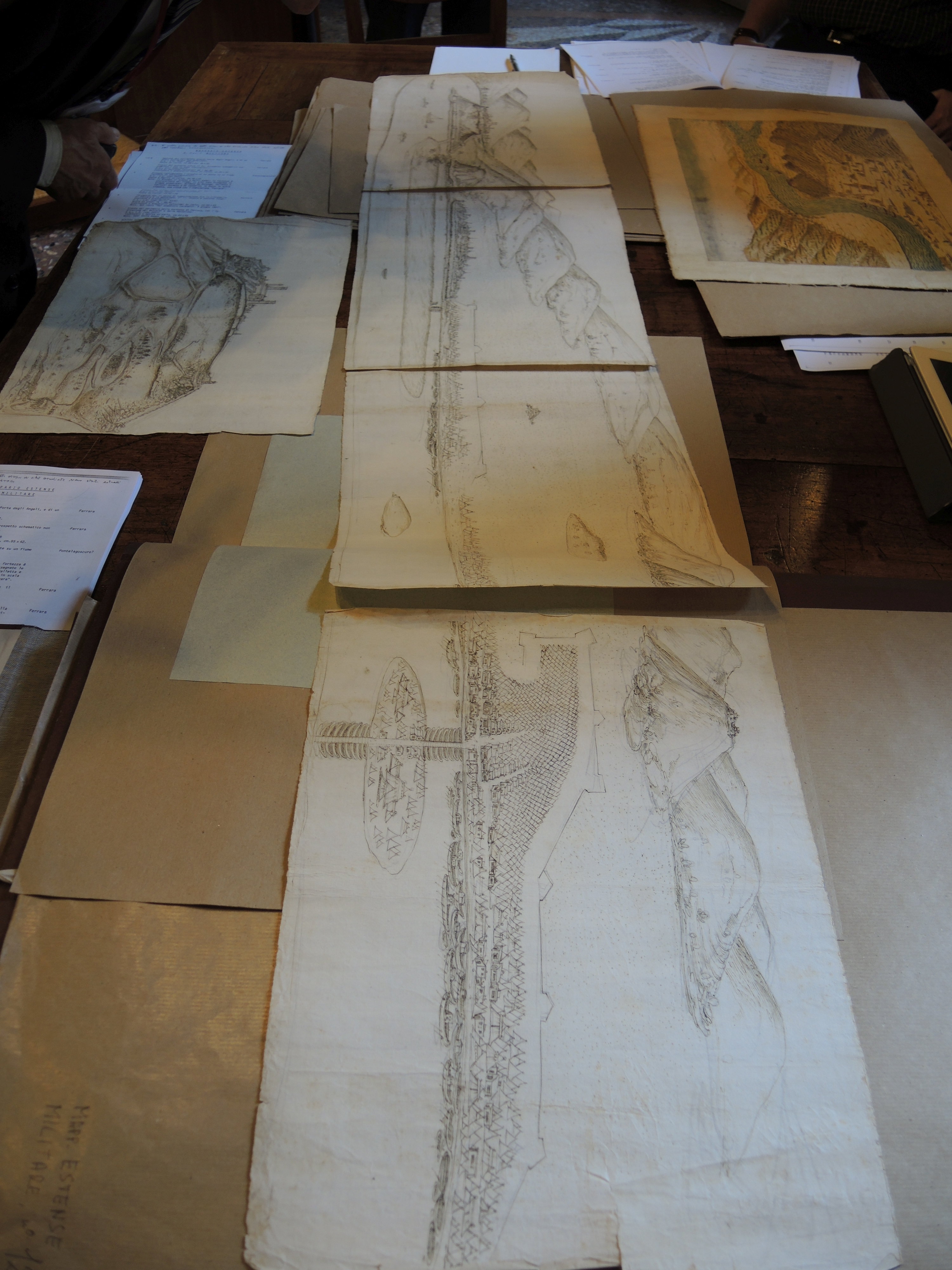
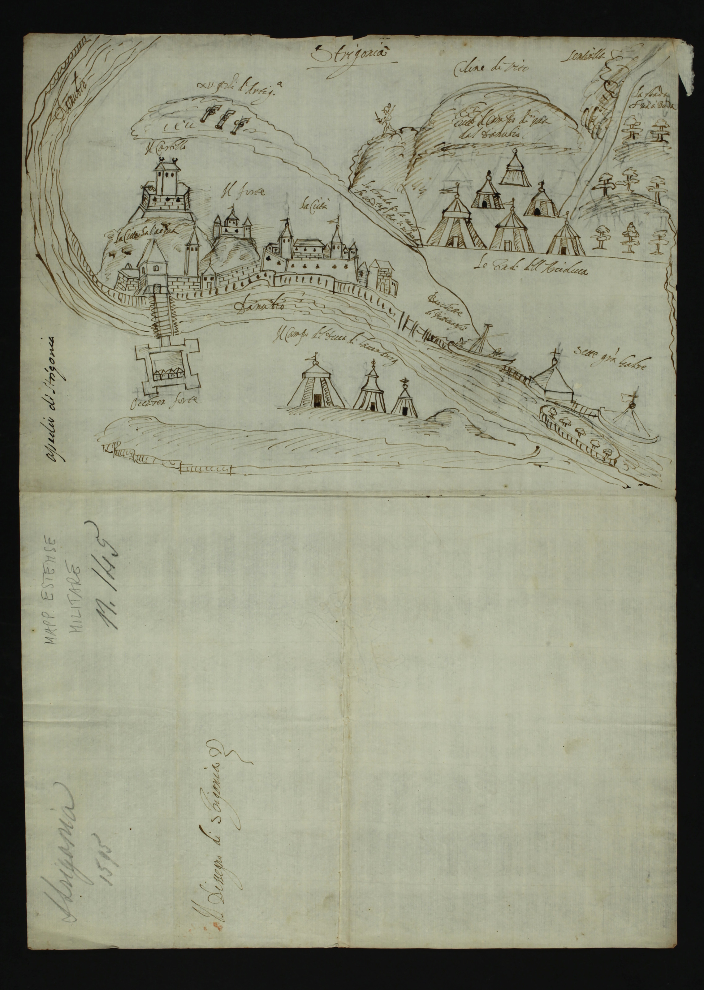
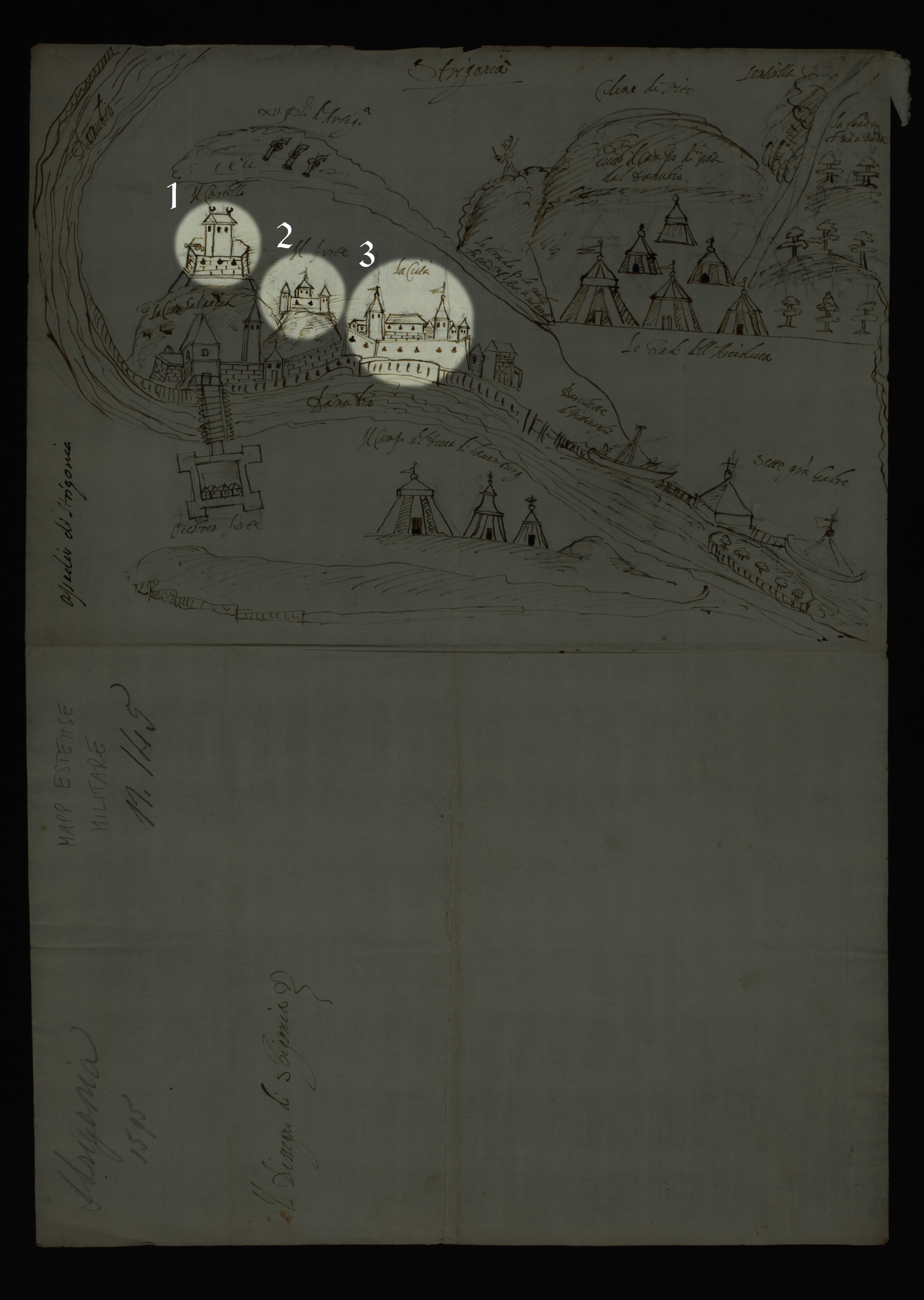
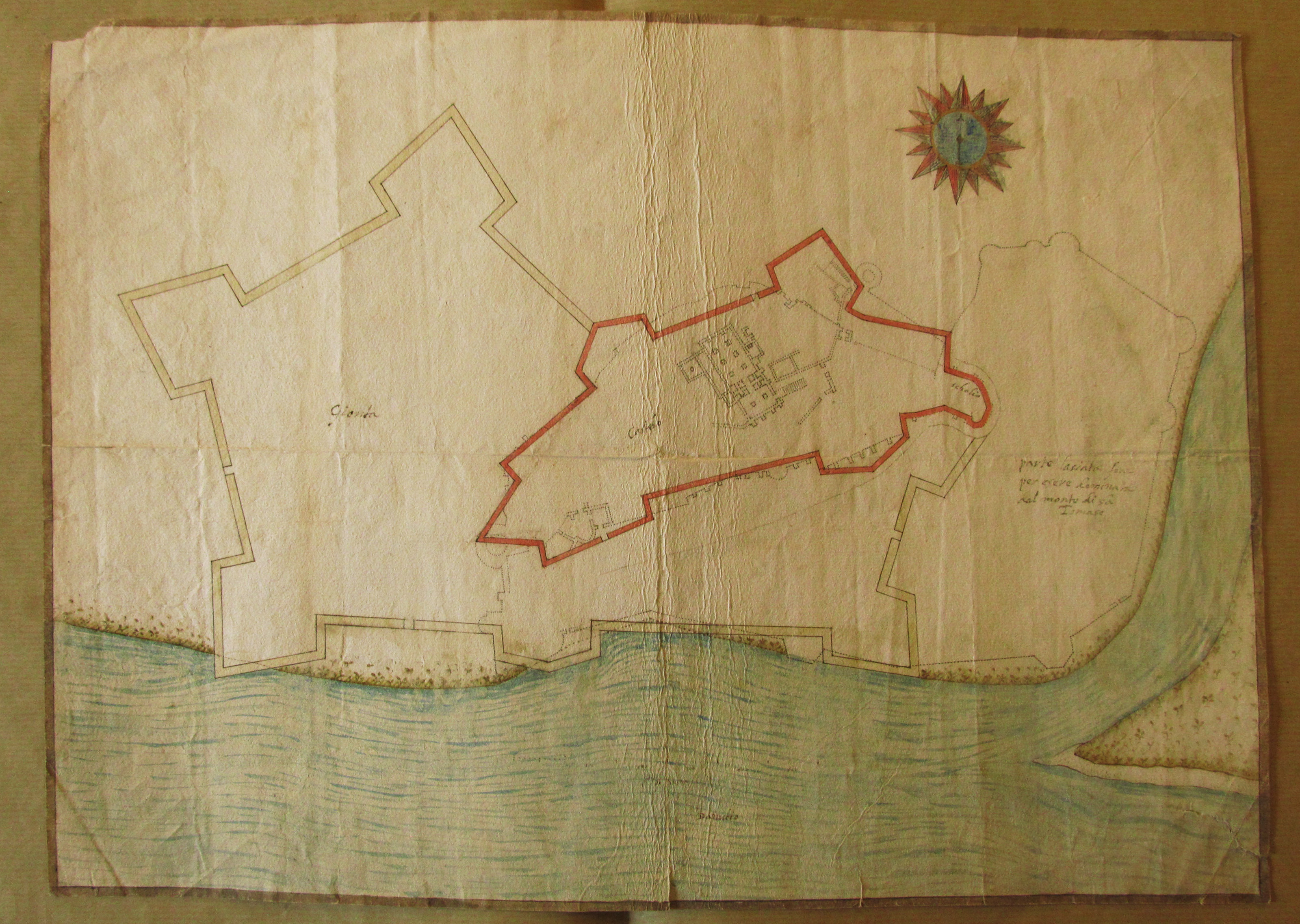
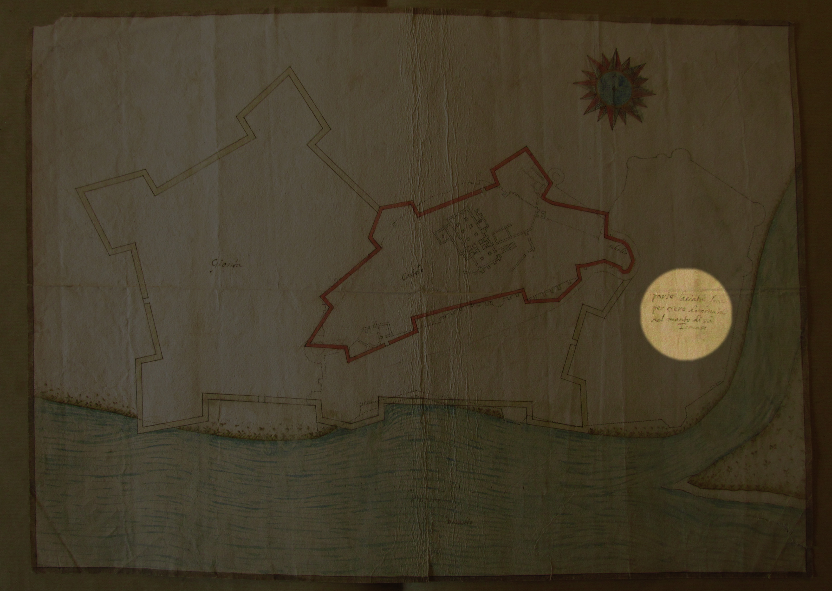
The images presented here show the city of Esztergom, i.e. Strigonia, which - together with several Hungarian cities - was a battlefield during the Long Turkish War (1593–1606) that broke out due to the renewed hostilities between the Habsburgs and the Ottomans. Several related depictions are preserved in the State Archives of Modena.
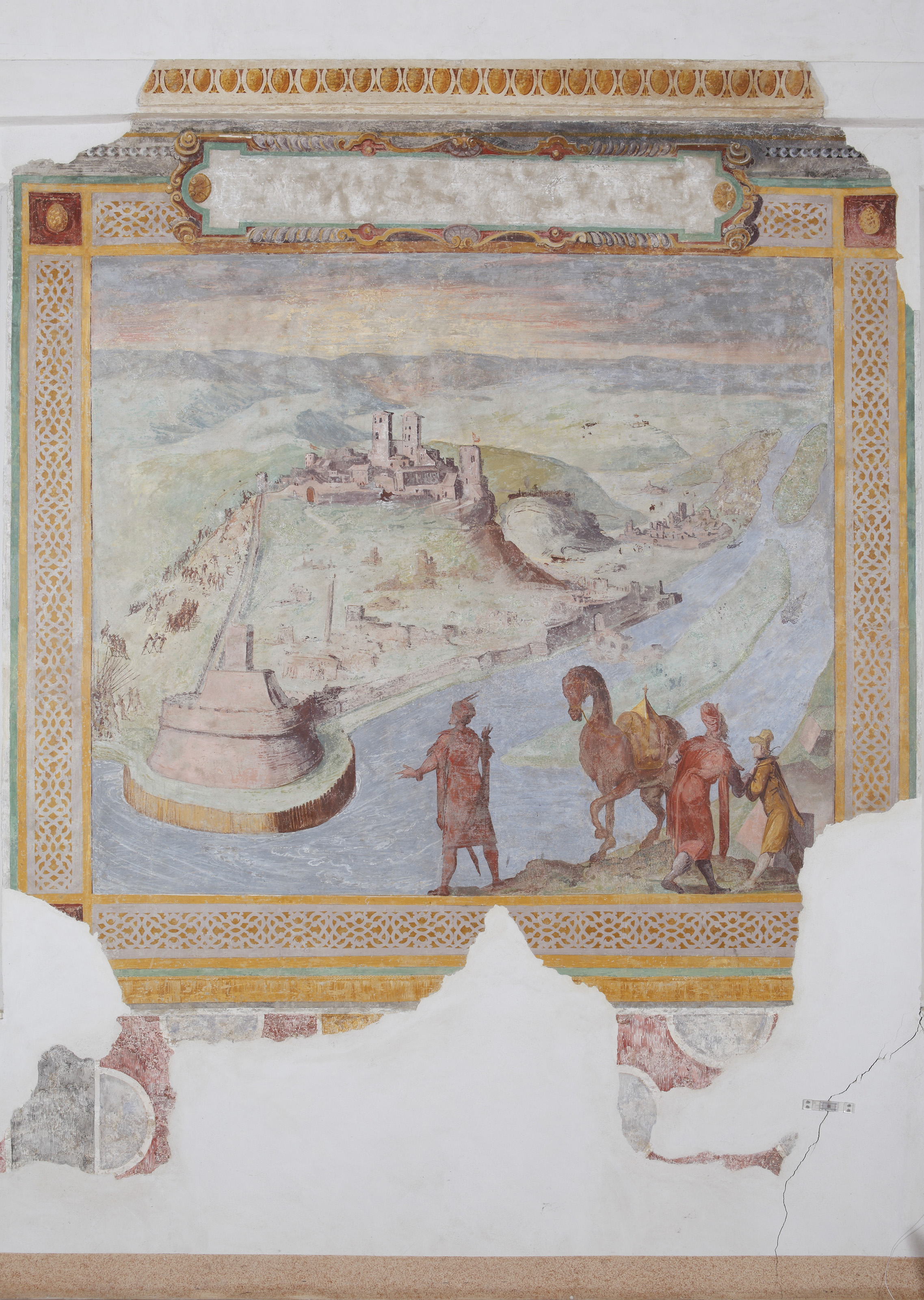
Among the drawings there are some more elaborate such as this watercolor, and some created rather for military purposes (see next image). The name of their author is not indicated, we can deduce this from other archival sources. The bird’s-eye view is certainly the work of Gabriello Ughi, a draftsman of Don Giovanni de’ Medici in Florence, and commissioned by Vincenzo I Gonzaga, Duke of Mantua (1587–1612). All three were present at the siege and their goal was to preserve the memory of the successful warrior.
The original record held by: State Archives of Modena
Reference code: Archivio di Stato di Modena, Mappario Estense, Topografie di città, n. 138
Date of creation: Esztergom, 1595